1. What is the vision and mission of Crystal Ball?
We want to provide Drones for everyone, all ages and all classes of the population. Our vision is to make products that coalesce ‘AI’ and ‘Drone’ together into one and provide our products and services globally. Currently, we are focussed on 3 sectors – Agriculture, Survey and Consumer products. We want to provide solutions in the agriculture and surveying sector which positively impact the lives of people.
A simple example of this is citizens not having valid ownership documents, this makes them financially unstable as they cannot get a loan, sell or lease the land. This problem can be solved using drone-based surveys, where geotagged land records can be generated which will increase the financial stability of citizens and property tax will be accurately determined.
In the consumer segment, we are wanting to offer powerful, compact, extremely portable drones and user-friendly drones for recreational purposes like photography.
2. How are your products contributing to that vision?
We are working on delivering 3 products as of now
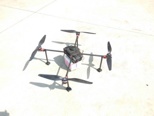
- Model V, Crop Inspection Agri drone. DGCA has recently approved this drone.
- Model M, Long-range survey drone, product to be launched in Q4’2020.
- Model One, personal drone.
3. Tell us more about Model V?
Our Agriculture product, Model V, collects the data and enables one to run analytics. Our solution provides descriptive analysis, providing valuable information like NDVI (Normalized Difference Vegetation Index) and NDRE (Normalized Difference Red Edge). These are agricultural indices that indicate the health of plants.

NDVI measures the chlorophyll content in the top canopy layer of leaves which indicates plant health. NDRE uses red bands to measure the chlorophyll content in deep parts of the canopy. Both NDVI and NDRE help judge plant health before external symptoms of diseases appear. One can take early mitigatory actions like applying fertilisers in the right places in the field to ensure that plants remain healthy
4. How is it better than similar models available in the market?
Honestly, there are similar products in the market with comparable features and functionalities, however, we beat them with our price point and end-end solution package.
We are already working on the next release of our Agri product and when it is out, It will outperform the competition in this category in terms of endurance, features and yet at an appealing price tag.
5. Tell us more about the applications of drones?
One can expect a thorough drone training curriculum which is designed as per the prescribed syllabus by the DGCA and extensive practical training in which the trainee will be exposed to various scenarios and emergencies and will be trained to tackle them and maintain safety. In summary, one can expect to be an industry-ready pilot after the course completion
We work in the field of agriculture and surveying. For agriculture, Model V inspects crops, it helps in regular health analysis by collecting the data using a multispectral camera. We also have another Agri drone for pesticide spraying.
For surveying our model M carries out topographic surveys by capturing RGB and Multispectral aerial data. Our Survey drone can be used by mainly GIS service providers and we already see a lot of interest in this product.

We are developing innovative business models and partnerships where even a farmer with a few acres of land would be able to benefit from our products and services.
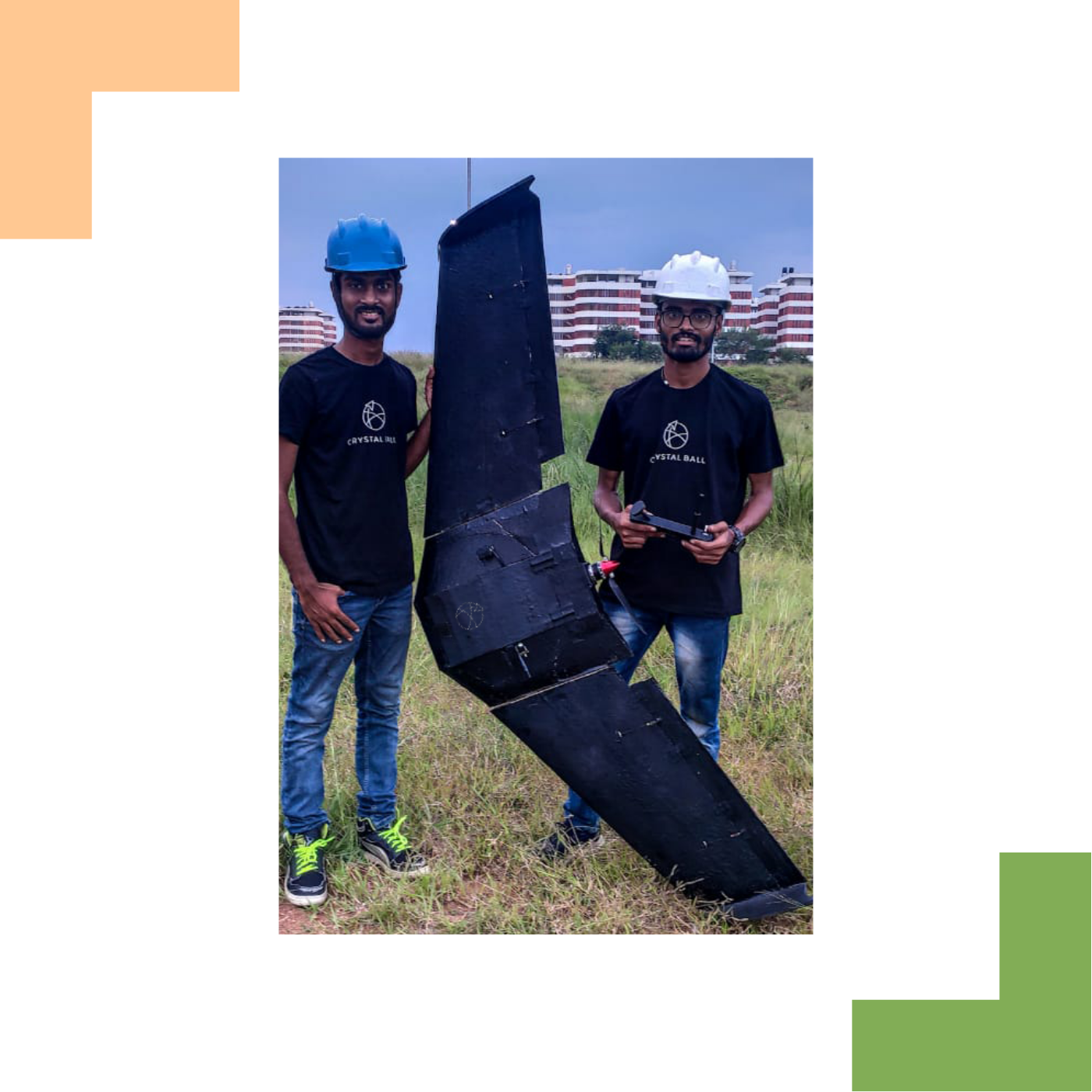
Model M, Survey product, is a fixed-wing for long-range surveying, optimally made for the long-range survey purpose, with flight time ~ 100 minutes and capturing ~ 8 sq. km data with an accuracy of 5 cm. Its performance and features make it an attractive model in the market.

One of the USP’s of our company is – we are a drone company with a huge focus on AI, our future models with AI functionality. For example, we are working on ‘Detect and Avoid’ functionality using AI. Another example is, using object detection in aerial surveys to identify road marks, buildings, trees, etc.
At the end of the day, adding value to the larger population through our products and services is what matters the most for us. With the product line of India’s 1st DGCA approved Agri crop inspection drone, and high-performance mapping drone around 100 min, more AI-based models coming next year, and expanding globally we are working to make CrystalBall, truly a global drone company rooted in India.


About The Author: Drone Federation Of India
More posts by Drone Federation Of India